Holy Hills and Hill Camps
Hilltop Enclosures and Camps
West Penwith has a number of hilltop sacred enclosures,
hill camps and interesting holy hills.
The hills are, of course, geologically ancient, though most hilltop sites come in the form of Neolithic Tor Enclosures from around 3700 BCE, Bronze Age circular enclosures from around 1800 BCE and Iron Age hill camps from around 800 BCE onwards. The sites of many Iron Age hill camps were in use earlier, even if nothing remarkable was built on them.
Hill camps are usually called hillforts, but recent research shows that only 10% were ever used for defensive purposes. So, let's scrap that idea. We have security guards and cameras at banks, hospitals and shopping malls, and that doesn't make them defensive sites - they exist for other purposes, though they are kept secure.

Map of the Holy Hills of Belerion. Click to see a larger version
Three hilltop circular gathering sites from around 1800 BCE

Castle an Dinas, a sacred enclosure. On the horizon, centre, Trencrom Hill, then leftwards Trink Hill, Rosewall Hill and Zennor Hill
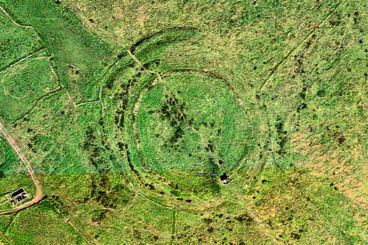
Castle an Dinas from above
Above: Castle an Dinas, a Bronze Age circular enclosure. On the horizon, centre, Trencrom Hill, then leftwards Trink Hill, Rosewall Hill and Zennor Hill.
Right: Castle an Dinas from above

Bartinney Castle from above
Left: Bartinney Castle from above.
Below: Bartinney Castle, another circular sacred enclosure comprising a large ring, inside which are several ring cairns and a well.

On top of Bartinney Castle

The well on top of Bartinney Castle
Left: Caer Brân from above.
Below: Caer Brân, a Bronze Age gathering and parliament place with a circular enclosing bank.
Main: the view from below it, near Grumbla. Right top: Chapel Carn Brea from Caer Brân.
Right below: the enclosing banks of Caer Brân, with Lamorna Gap and Kemyel Point behind.

Bartinney Castle. There's a circular sacred enclosure on top with cairns and a well inside
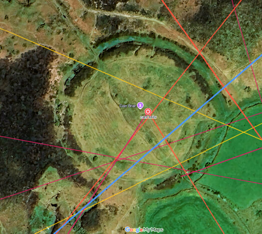
Caer Brân from above

Chapel Carn Brea as seen from Caer Brân

The Lamorna Gap from Caer Brân
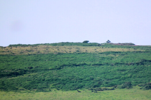
Caer Brân from below
Other hills and hill camps
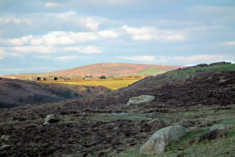
Chapel Carn Brea as seen from Carn Lês Boel
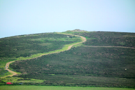
Chapel Carn Brea

Chapel Carn Brea as seen from Carn Euny
Chapel Carn Brea, Britain's last hill, topped with cairns, is a beacon hill visible from Scilly.
Pics left to bottom right. Chapel Carn Brea from: Carn Lês Boel; Carn Euny; the east; Boscawen-ûn and Trevorgans menhir.

Chapel Carn Brea from Trevorgans menhir near St Buryan

Chapel Carn Brea as seen from Boscawen-ûn

Sancreed Beacon as seen from Botrea Hill
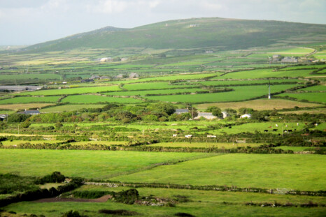
Watch Croft, Penwith's highest hill, as seen from Carn Eanes near Pendeen

Left, Carn Bean, right, Carn Kenidjack, as seen from Botrea Hill
Chûn Castle is a multi-period hill camp. In the Neolithic there was an enclosure on top, with Chûn Quoit just below it. In the Iron Age a hill camp was built. A village downhill at Bosullow Trehyllis serviced the camp. It was involved in tin smelting and crafting - it was a secure compound more than a hillfort.
Left: Carn Eanes above Boscaswell, from Chûn Quoit.
Below: Chûn Quoit and Castle from Carn Eanes, and two pictures inside Chûn Castle.
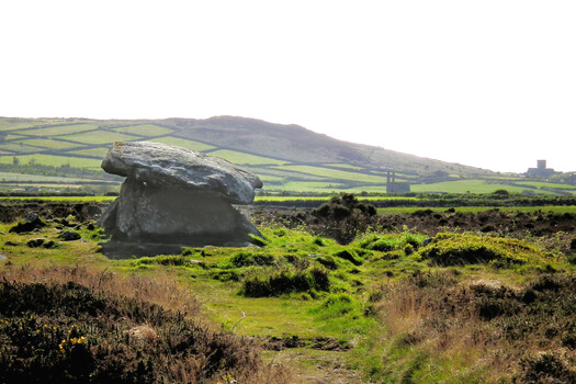
Carn Eanes as seen from Chûn Quoit

Inside Chûn Castle

Inside Chûn Castle

Zennor Hill
Zennor Hill was popular in the Neolithic - greener and homelier than today. It's one big hill with three bumps: Zennor Hill, west, Sperris Croft and Trendrine Hill, east. Zennor Hill has a quoit, rock temple, propped stones and logan rock. Sperris Croft has a quoit, rock temple and settlement. Trendrine has a tor and cairns.

Chûn Castle as seen from Carn Eanes, with Chûn Quoit below it in the centre of the photo

Zennor Hill, right, Sperris Croft, middle, and Trendrine Hill, left, as seen from Carn Naun
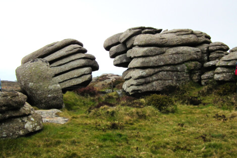
Magic tor rocks on Zennor Hill
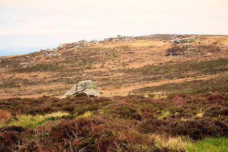
The scene on top of Zennor Hill
Penwith's hills aren't high and dramatic but they're captivating. Neolithics lived on some because the climate was warm and fair, and below them the land was largely forest. But by the Bronze Age, around 1800 the wildwood was 50% cleared. Stone circles stood in open parkland.
People lived higher in summer and lower in winter. Everyone knew each other and was distantly related, though the clans, 5-10 of them, each had their own stamping grounds.

Rock Temple on Zennor Hill

Carn Galva as seen from Zennor Hill
To find these sites on a detailed online map: Map of the Ancient Sites of West Penwith